Books
Magazines
Artwork
Editions
Multimedia
Allied Publishers
Authors
Style
Perla Medley
Posters & Postcards
Antiquarian
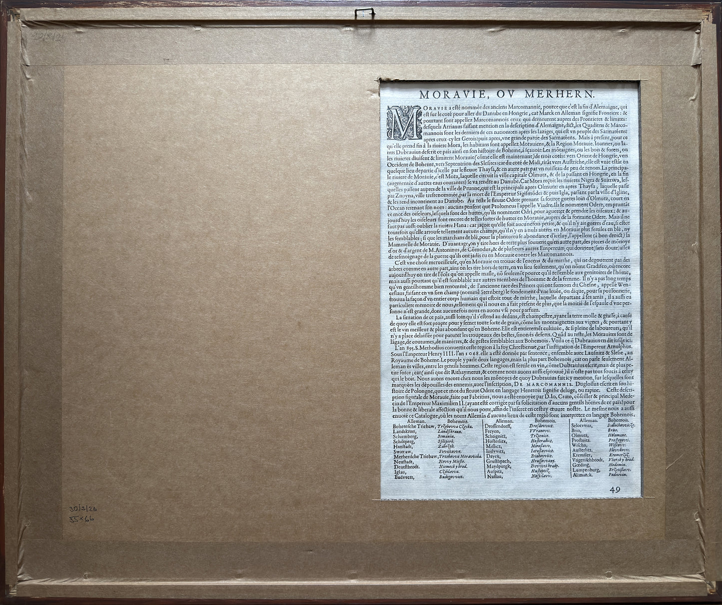
Author: Paulus Fabricius (1519–1589)
Engraver: Franz Hogenberg
Published: Antwerp, 1573 (published in Abraham Ortelius’s prestigious atlas Theatrum orbis terrarum)
Technique: Colored copperplate engraving
Description of the work
This is the third (simplified) version of the very first standalone printed map of Moravia, the original draft of which was created in 1569. Pavel Fabricius, a native of Lubáň in Upper Lusatia and personal physician to Emperor Maximilian II, compiled the map after a lengthy survey of the terrain and his own astronomical measurements of geographical latitudes. The print presented here was produced for Abraham Ortelius’s most famous atlas of the time.
Key Elements
• Cartouche and Title: In the upper left corner is a richly decorated Renaissance cartouche with a Latin title referring to Moravia as the former seat of the Germanic Marcomanni (Moravia, Quae Olim Marcomannorum Sedes...).
• Symbolism and scale: In the lower right corner is a graphic scale in the form of a triangulation triangle with a compass and the Moravian eagle.
• Orientation: Unlike many other contemporary works, which were oriented toward the south or east, this map is constructed with a modern orientation—that is, north at the top (as confirmed by the inscription SEPTENTRIO at the top edge of the frame). The cardinal directions OCCIDENS (west), ORIENS (east), and MERIDIES (south) are also marked on the edges of the frame.
• Nomenclature and neighboring countries: The map primarily uses a corrupted German nomenclature (Czech names were engraved into the plates only in later editions). The edges of the map define the neighboring territories: Bohemia (Bohemiae pars), Silesia (Silesiae pars), Hungary (Hungariae pars), and Austria (Austriae pars).
Occurrence and Location of Copies
Original separate prints from 1569 are extremely rare, and only a few copies have survived worldwide (unique proof prints without text are, for example, part of the so-called Lafreri atlases at the British Library in London).
Much more numerous are these derivatives and sheets extracted from Ortelius’s atlases after 1573. In the Czech Republic and abroad, various variants and prints of Fabricius’s map can be found in the following major institutions:
• Moravian Provincial Library in Brno; (the most significant domestic copy is part of the famous Moll Collection)
• Map Collection of the Institute of History, Czech Academy of Sciences in Prague
• Comenius Museum in Přerov (owns an extensive collection of historical cartography of Moravia, including works derived from Fabricius’s map)
• National Library of the Czech Republic in Prague
• Map Collection of the Faculty of Science, Charles University in Prague
• Institute of Geography, Masaryk University in Brno
• Moravian Cartographic Center in Velké Opatovice (copies or derivatives as part of the permanent exhibition on the mapping of Moravia)
Historical Significance
Fabricius’s work represents a groundbreaking milestone in Moravian cartography. Its accuracy surpassed all earlier depictions of the region, and in various reprints (by authors such as Hondius, Janssonius, de Jode, and Mercator), it served as the primary and unsurpassed model until the first third of the 17th century, when it was replaced by the more modern cartographic work of Jan Amos Comenius.